Mississippi River Flight - Day Six - Part One
Brookhaven, Mississippi to Gunterville, Alabama

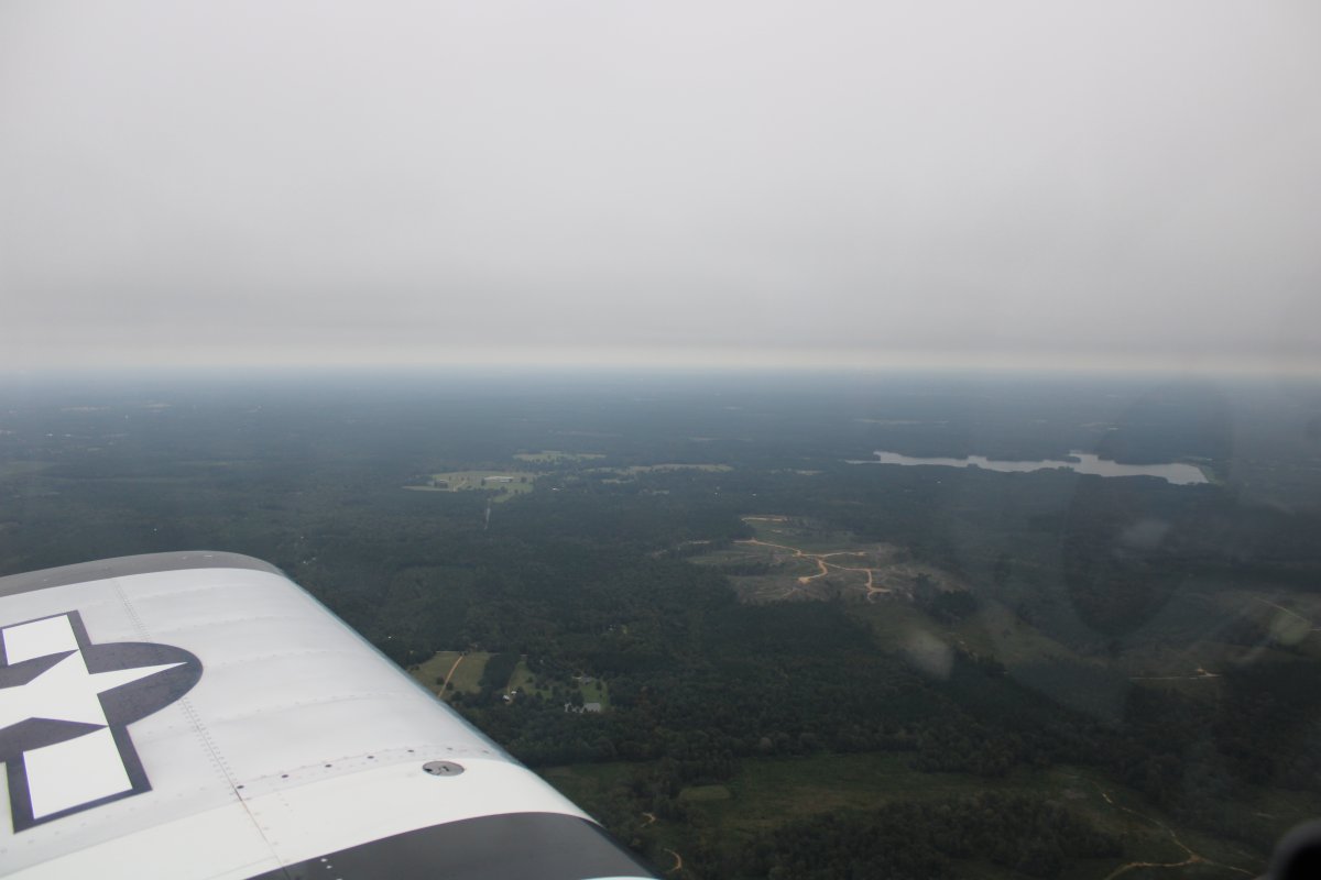
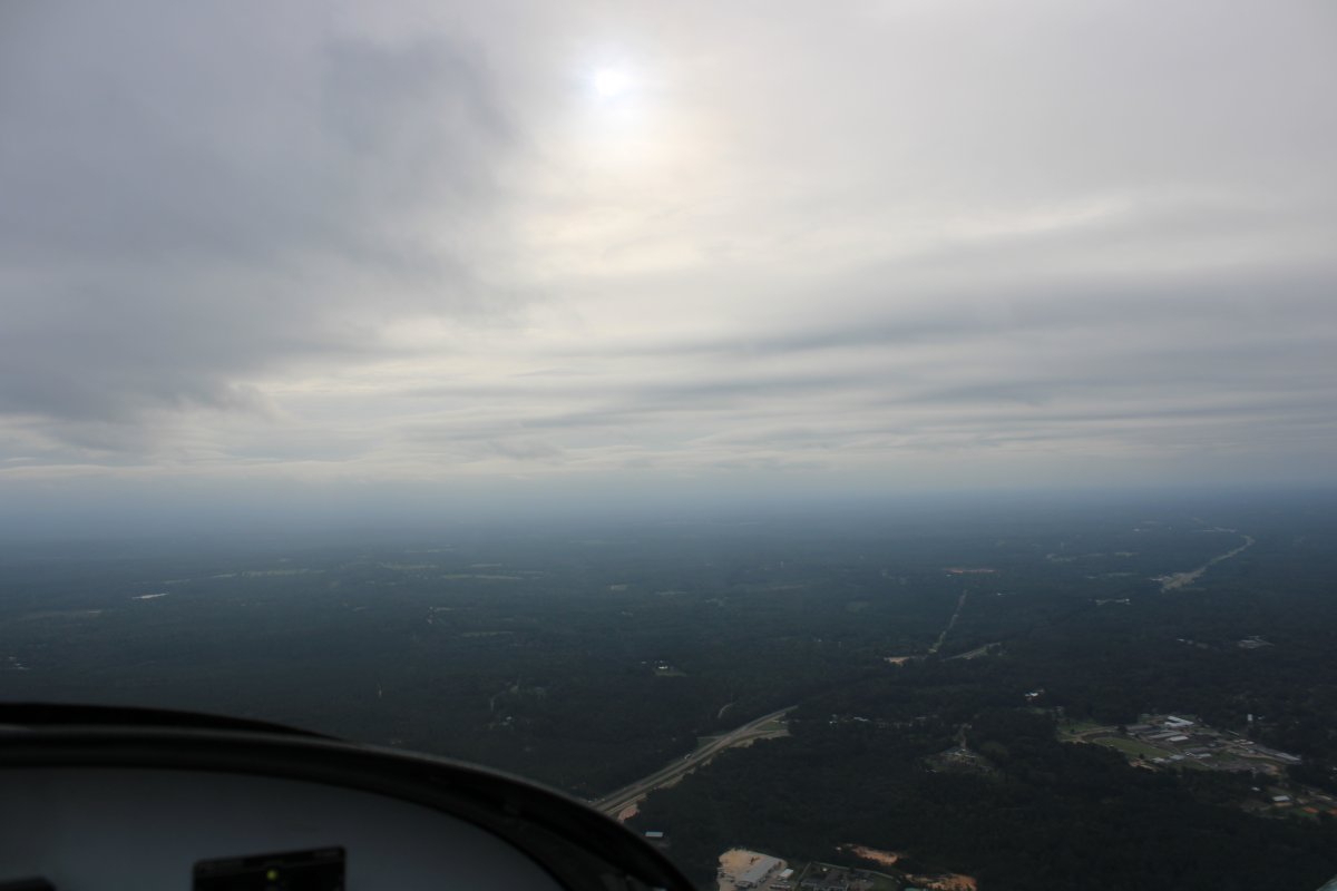
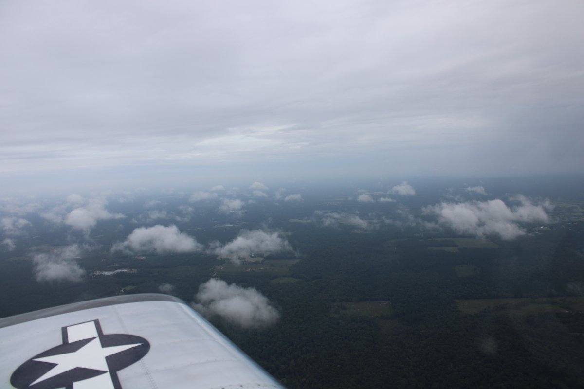
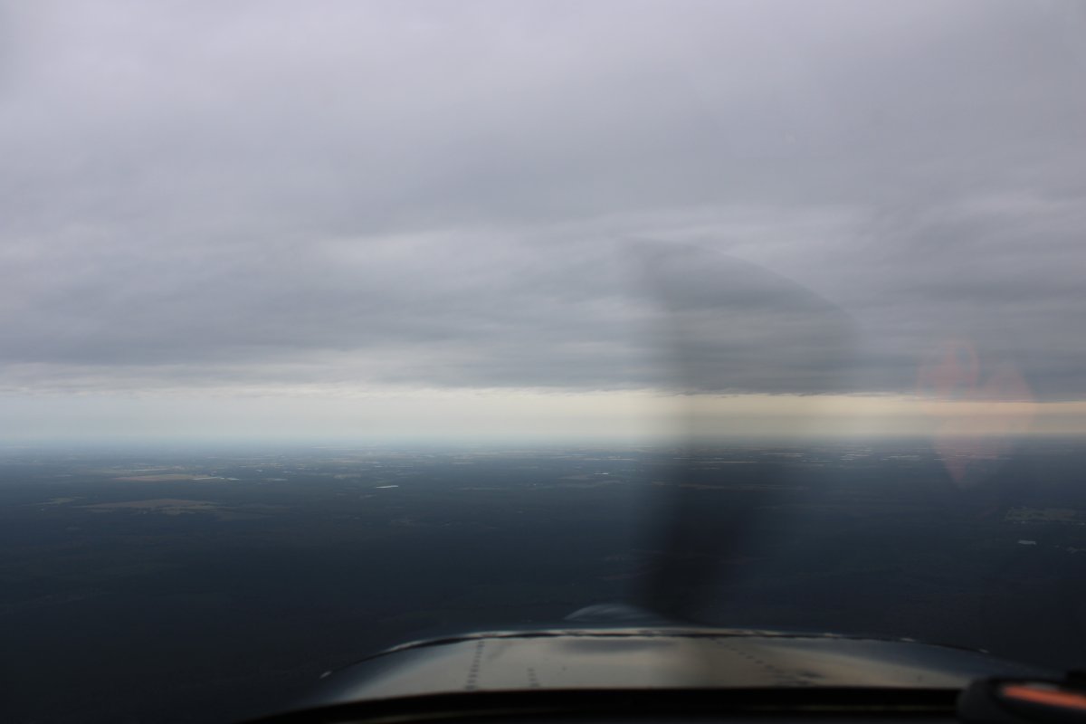
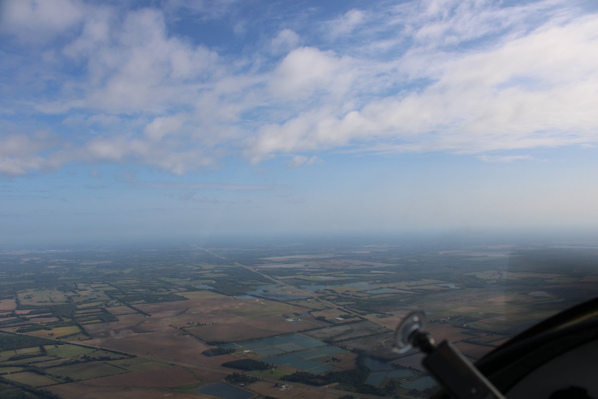
The next morning I checked the weather in the motel.  New Orleans still had horrendous weather so that was out of the question.  Brookhaven itself was overcast, with light, misty rain but certainly flyable.  The weather forecast showed clear skies after 100 miles or so heading northeast.

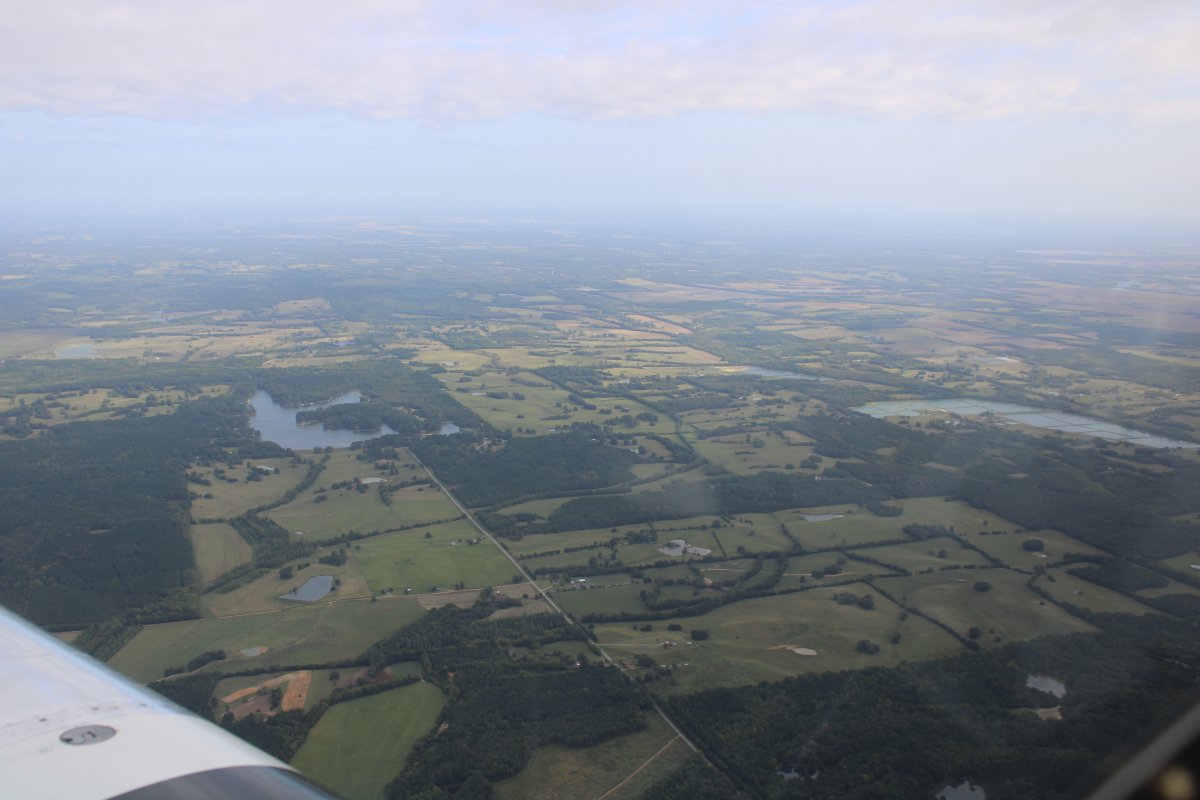
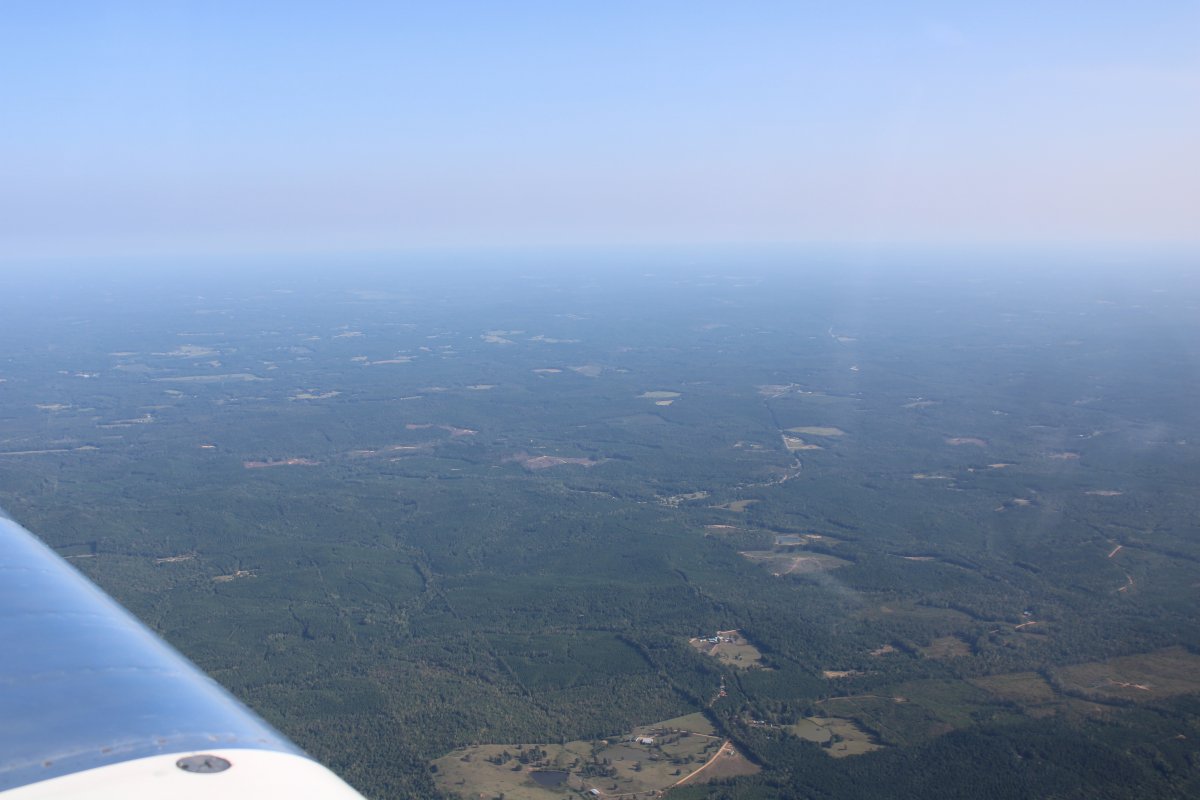
Out at the airport, there was some light rain.  I loaded up the plane, took off and headed northeast.

   
Not too scenic this morning.
   
The overcast layer is starting to break up and I'm seeing a little sunlight.
   
Once the bottom layer broke up, I was able to climb some and make better speed.
   
Passing by an unusual building.  It's the Pearl River Resort, near Philadelphia, Mississippi.   Basically, there's a casino on each side of the highway.
   
Checking out Philadelphia Municipal Airport.
   
Looks like I will soon be emerging from the shelf of this high overcast.
   
Finally!  Clear skies ahead.
   
This is more like it!
   
The sky is clear now, but the flight is not too interesting.
   
I have something to look forward to as I approach Lewis Smith Lake.
   

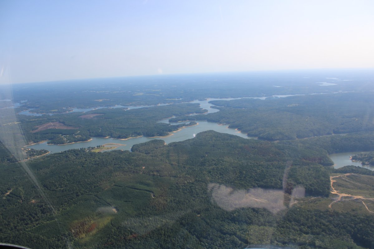
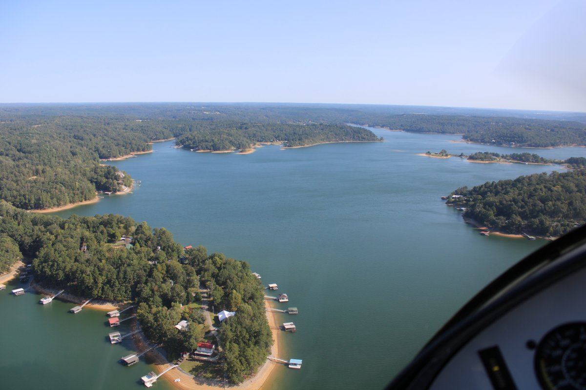
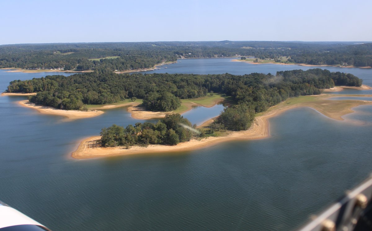
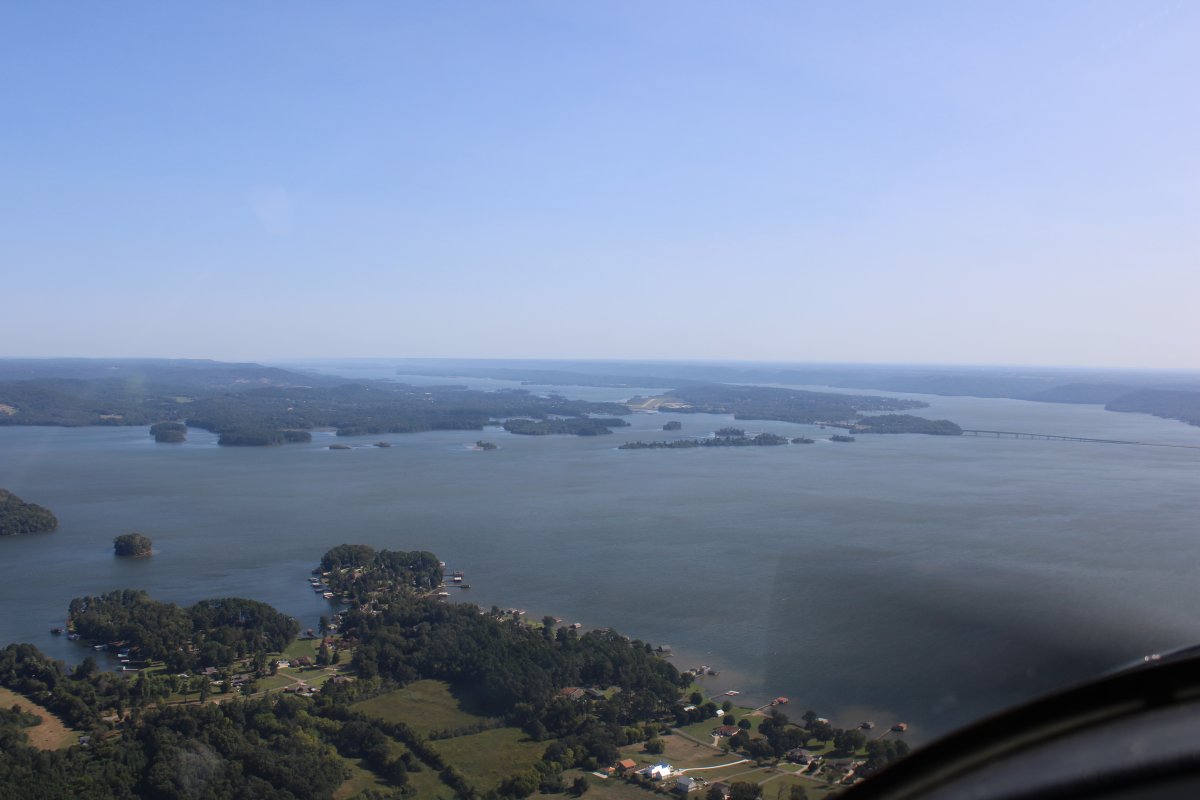
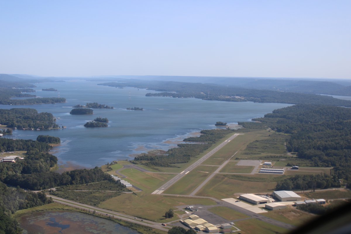
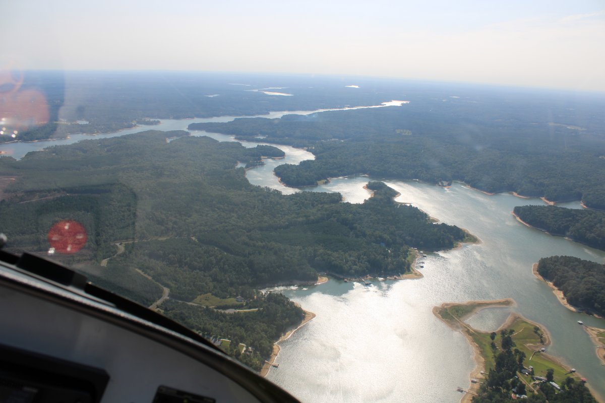
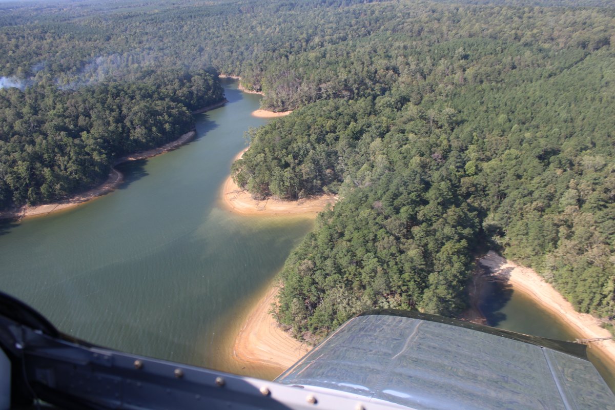
Lewis Smith Lake is a reservoir in north Alabama. Located on the Sipsey Fork of the Black Warrior River, it covers over 21,000 acres in Cullman, Walker, and Winston Counties. The maximum depth at the dam is 264 feet. It is the deepest lake in Alabama. The three-fingered reservoir has over 500 miles of shoreline.

The lake was created by Alabama Power with the construction of the Lewis Smith Dam. One of the largest earthen dams in the eastern United States, it stretches 2,200 feet in length and reaches a maximum height of 300 feet.  Construction began on November 25, 1957, and the dam entered service on September 5, 1961. The name honors Lewis Martin Smith, president of Alabama Power from 1952 to 1957.
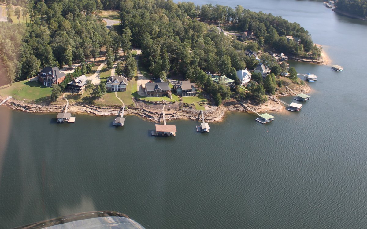
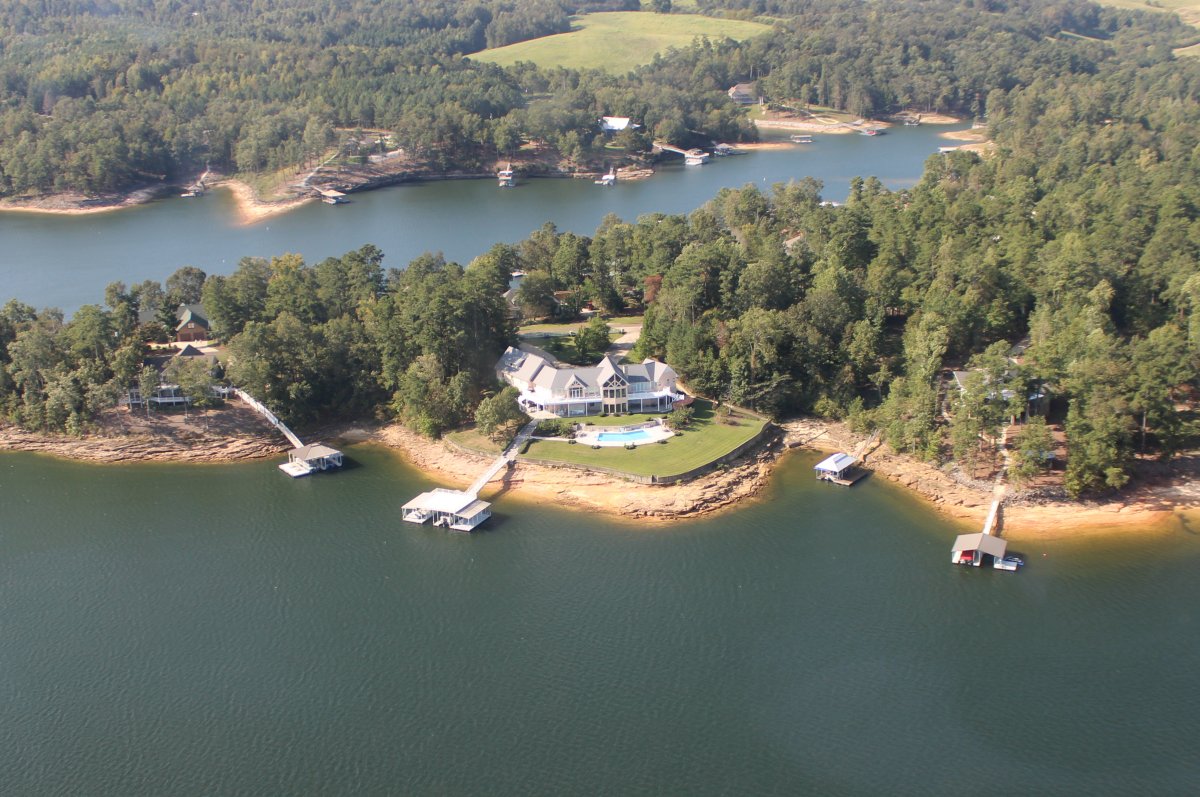
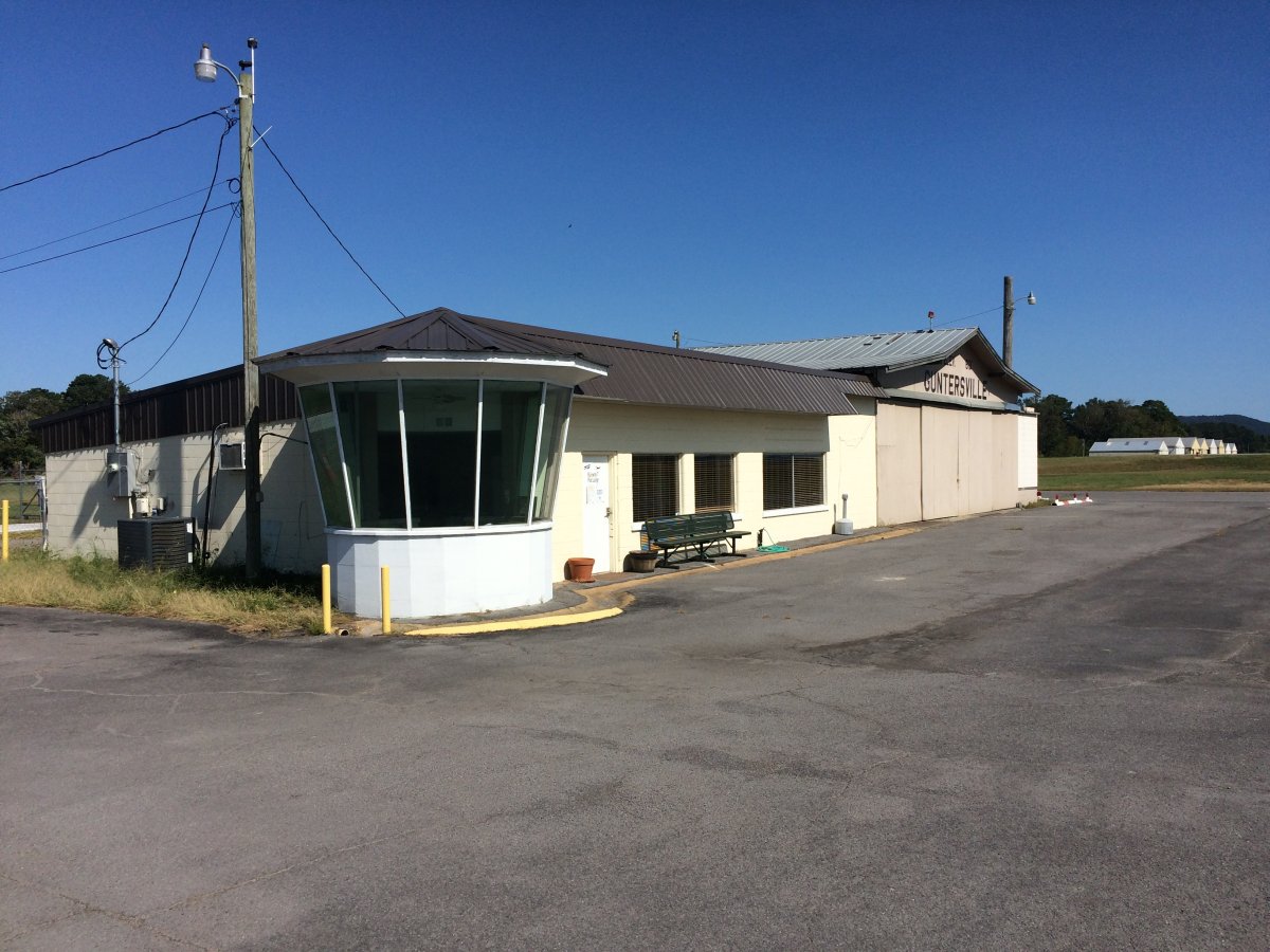
   
I descend to get a better look.
   
Nice waterfront houses on the Lake.
   

Very nice!

Notice how all the boat slips are covered.  I guess because it gets pretty hot down here in the summer.

   
Having fun following the Lake.


I continued northeast, heading for Guntersville Municipal Airport - Joe Starnes Field (8A1) in Alabama.  The airport is surrounded by Lake Guntersville, which is fed by the Tennessee River coming in from the northwest.  You can just make out the runway in the center of the picture.   Huntsville, Alabama is about 30 miles or so to the northwest.
   
A good look at Guntersville Airport.  The self-serve fuel pumps were by that group of buildings at the bottom of the picture.  Fortunately, when I landed, someone gave me directions on the radio.
   
By the fuel pumps was a pilot's lounge in this nondescript building.


Previous
Home
Next